File:Satellite wiksik.png
From The Shartak Wiki
Jump to navigationJump to search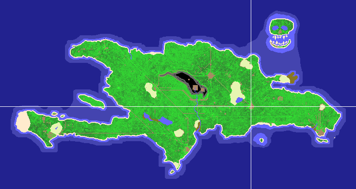
No higher resolution available.
Satellite_wiksik.png (734 × 391 pixels, file size: 40 KB, MIME type: image/png)
A 1-pixel-per-map-square satellite image focused on Wiksik.
File history
Click on a date/time to view the file as it appeared at that time.
| Date/Time | Thumbnail | Dimensions | User | Comment | |
|---|---|---|---|---|---|
| current | 02:16, 1 February 2009 | | 734 × 391 (40 KB) | Cheesesteak (talk | contribs) | 1/31/09 update |
| 23:45, 31 August 2006 | 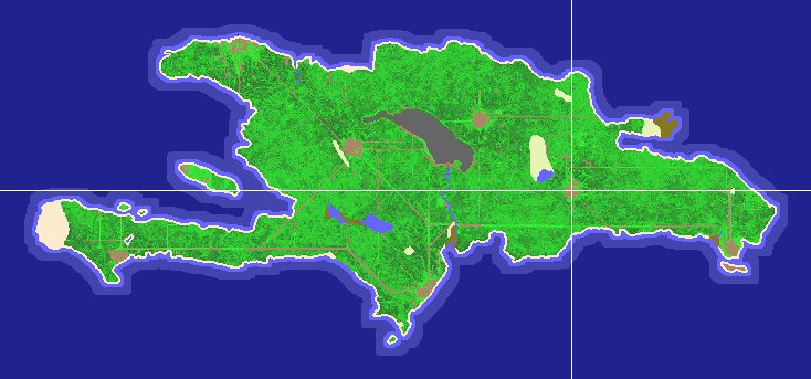 | 734 × 343 (39 KB) | Elembis (talk | contribs) | This version has fully-mapped water. | |
| 21:41, 25 May 2006 | 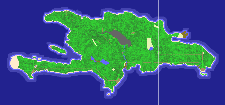 | 734 × 343 (39 KB) | Elembis (talk | contribs) | A 1-pixel-per-map-square satellite image focused on Wiksik. |
- You cannot overwrite this file.
File usage
The following page uses this file: